Il monte Spalavera, la montagna contesa
Monte Spalavera, or better said “La Spalavera”, may mislead you at first sight, with its soft shape and its modest 1533 meters: but do not be misled!
For it, the people of the mountain battled for hundreds of years.
The quarrel between the populations of the mountain villages of Trarego and Aurano and those bordering Cannero and Oggebbio has dragged on for centuries, contention of pastures and woods of Spalavera.
Today the four communities share the minimum space in Colle, in memory of the resolution of the dispute and as a sign of how pastures and woods were once at the center of life and today the focus of development: this is what means “Slow Panorama”!.
Beschreibung des Reisewegs
In Colle di Oggebbio, leaving the car park behind you, take the military road going up to Monte Spalavera.
In its first part the itinerary passes through a sparse birch trees forest and some fresh water sources and then, once you reached the ridge, continue walking through the pastures.
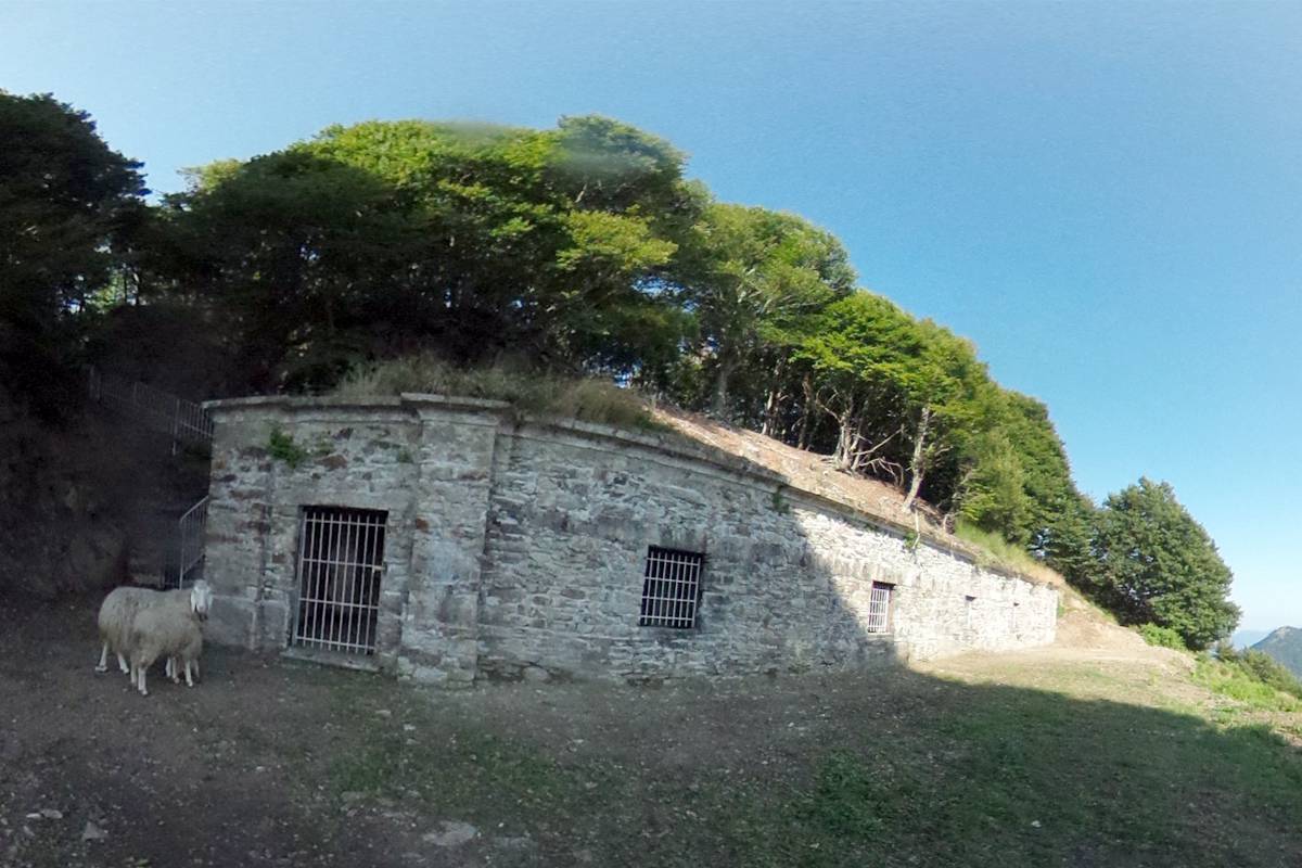
Just below the top of Monte Spalavera you can admire the remains of trenches and communication trenches descending into caves dug in the mountain, military works of the last century.
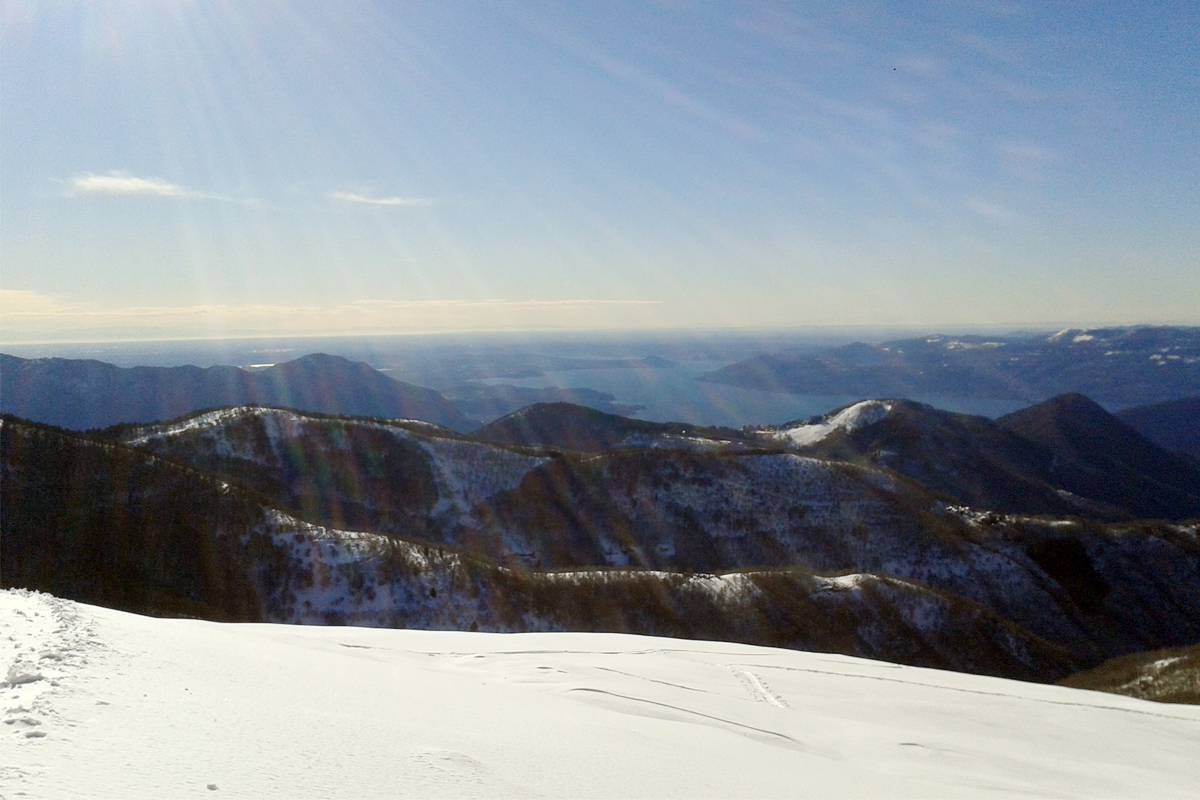
From the top, amazing view point well known for its great tour of the horizon, go down along the Northern path in a dense beech woods until you reach Pian d'Alpe, dividing the monte Spalavera from the nearby Cima d'Alpe.
This peak, close and easy, is worth the visit: it is characterized by the favorable panoramic position, evidenced by the presence of small “barracks” recently restored and by a military observatory hidden among beeches.
The return to Pian d'Alpe continuing along the flat track surrouded by greenery brings you back to Colle.
Nützliche Informationen
This is an itinerary SLOW PANORAMA.
The itinerary is a classical winter ascent with snowshoes or skis, easy and safe, of considerable satisfaction.
Geeignet für
Erwachsene
Kinder
MTB
Eigenarten
Technische Probleme
Tief
Körperliche Schwierigkeit
Tief
Typologie
Zirkular
Laufzeit
3h 30m
Länge
6,7km
Gesamter Höhenunterschied der Anstieg
370m
Höchstantteil
1533m
Günstige Zeit
januar
februar
märz
april
mai
juni
juli
august
september
oktober
november
dezember
Download
Sehenswürdigkeiten
Vetta del Monte Spalavera
Entdecken Sie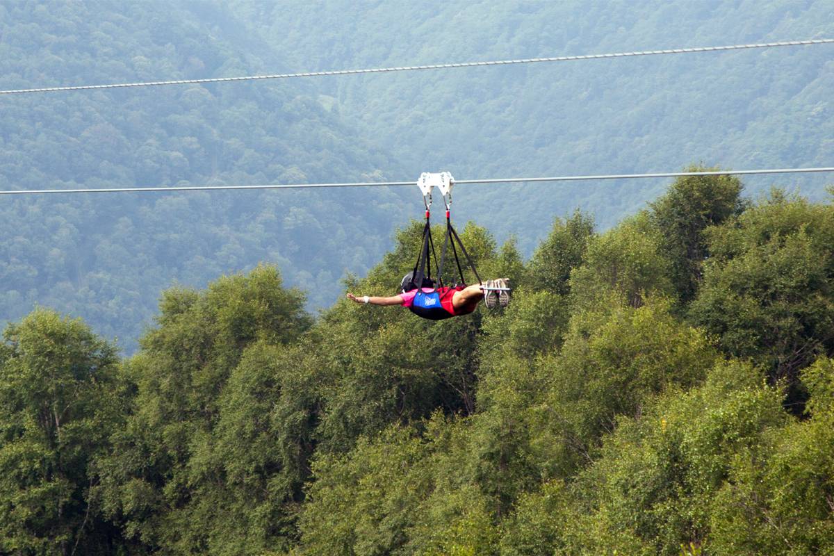
Lago Maggiore Zipline
Entdecken Sie